Field Details
The Field Details section captures long-term field-level changes that typically remain consistent year to year. These changes can significantly impact your Fieldprint Analysis results—especially for soil carbon, water quality, and biodiversity metrics. This section is spilt into three core field-level details – Conservation practices, Land use change and Tile drainage.
Important: Review this section each year to ensure it reflects current field conditions. After making any updates, click “Mark as Complete.”
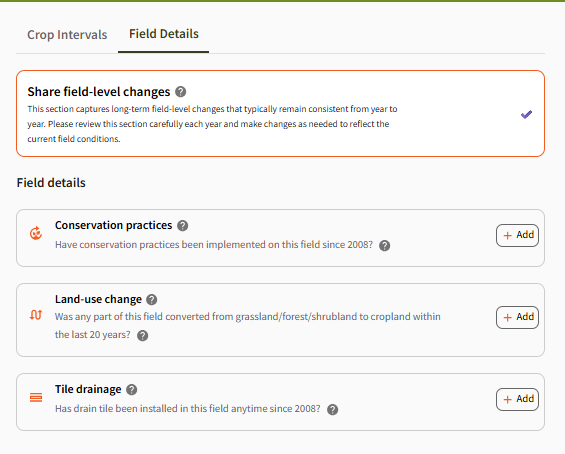
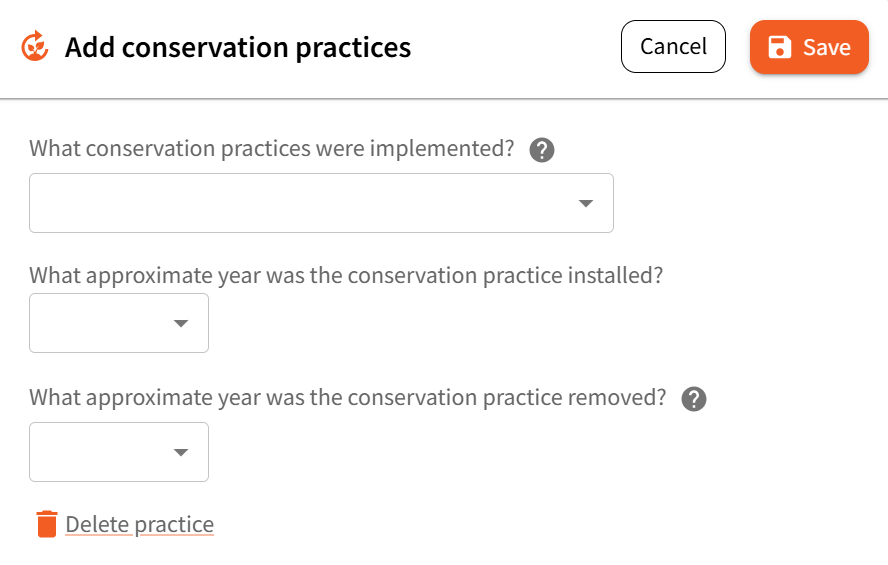
Conservation Practices
This section allows you to document conservation practices implemented on the field since 2008.
- Click “+ Add” to select from a list of practices (e.g., grassed waterways, contour farming, filter strips, terraces)
- For each practice, enter:
- The year installed
- Whether it has been removed, and if so, the year of removal
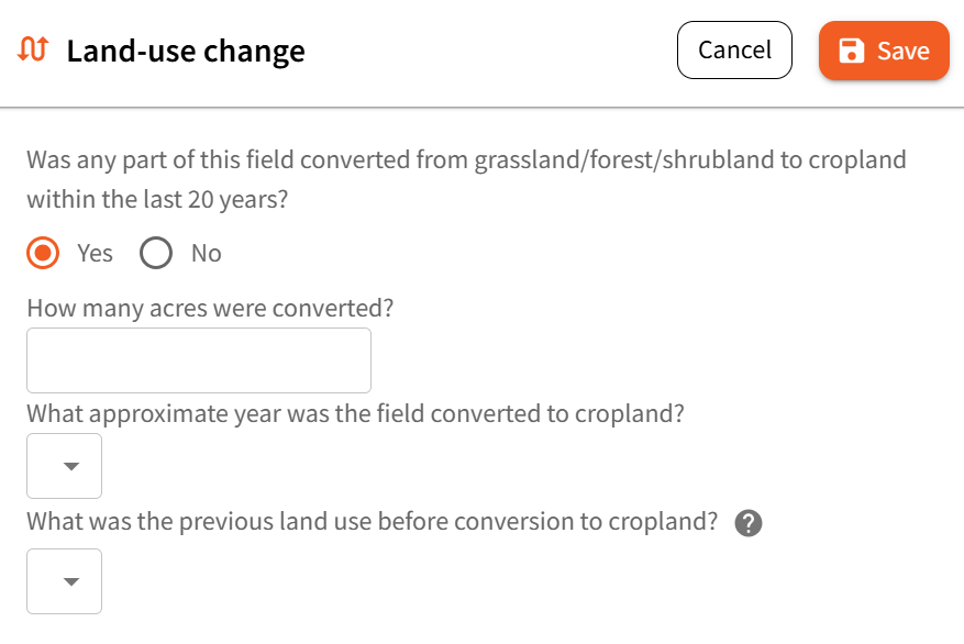
Land-use Change
If any portion of this field has been converted to cropland within the last 20 years, provide the following details:
- Year the land use changed
- Acres converted
- Previous land use type:
- Forest
- Grassland
- Shrubland
- For forests:
- Dominant species (e.g., pine, oak)
- For grasslands:
- Management level (e.g., unmanaged, lightly grazed, intensively managed)
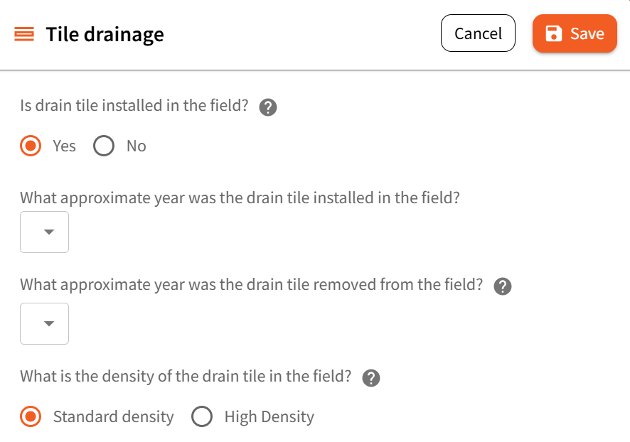
Tile Drainage
If tile drainage has been installed on this field since 2008, document:
- Tile density (e.g., Standard, Heavy, Light)
- Year of installation
- Year of removal (if applicable)
Once you have reviewed and updated all applicable field details click the “Mark as Complete” button to save your progress and move forward in the platform.